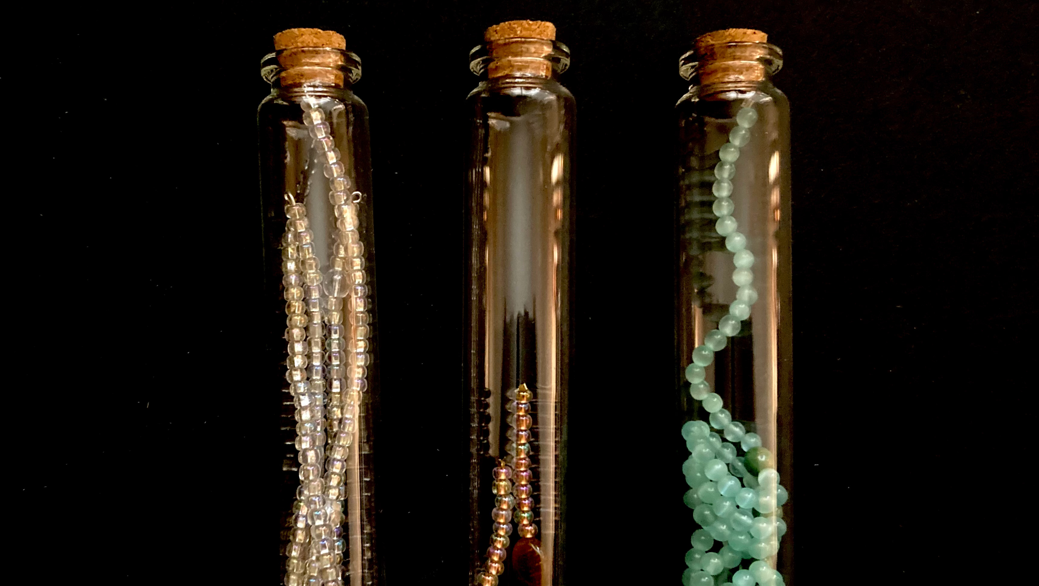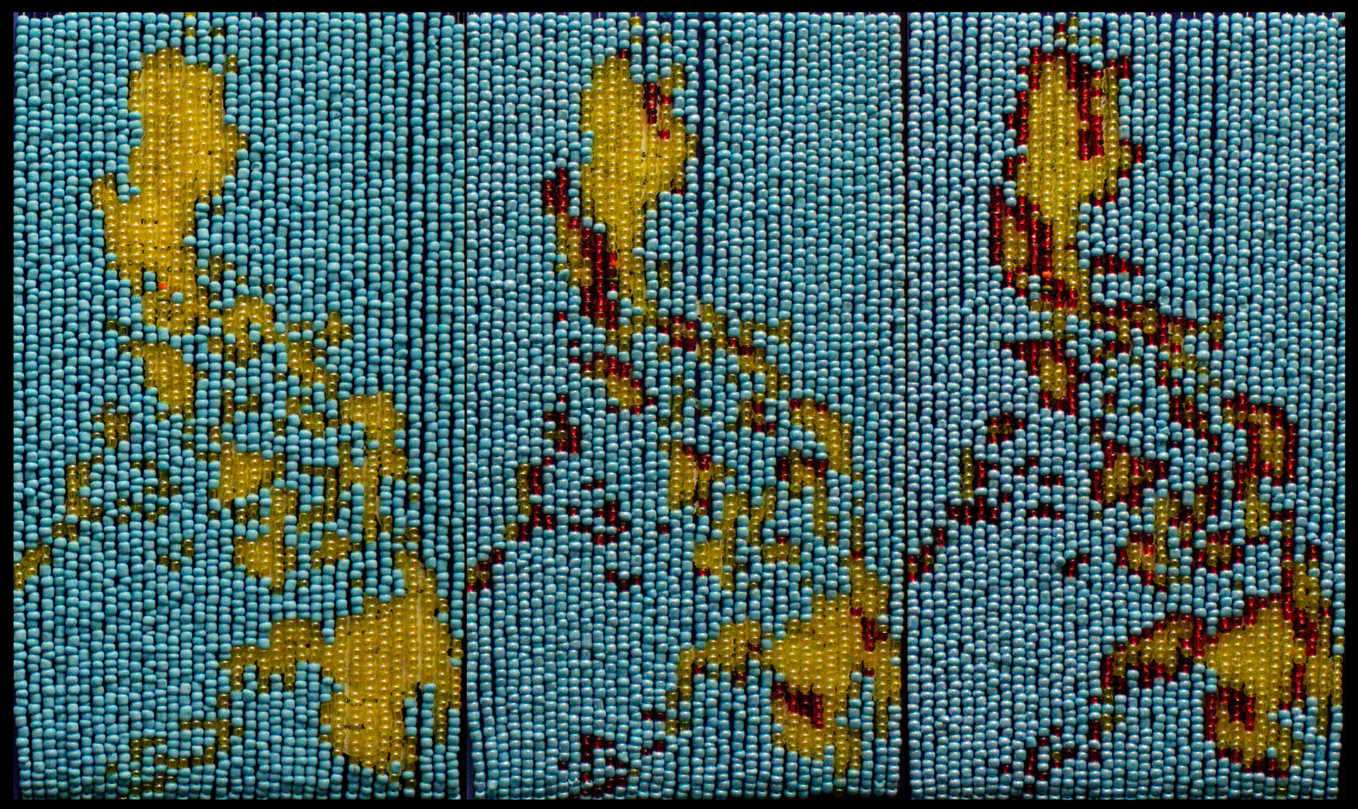
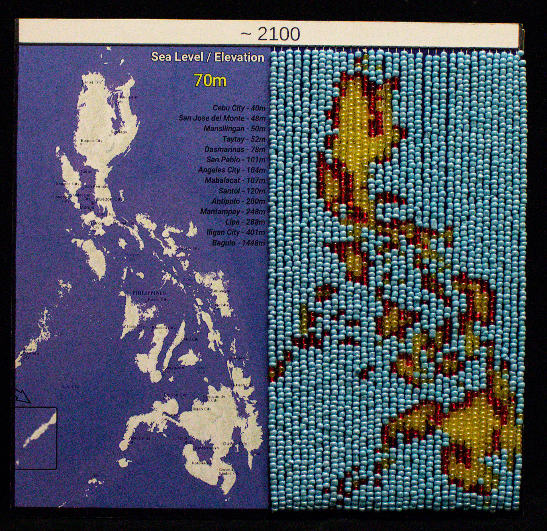
March 2022. Foam board, crimp beads, fishing line, seed beads. Three maps: 12"x11".
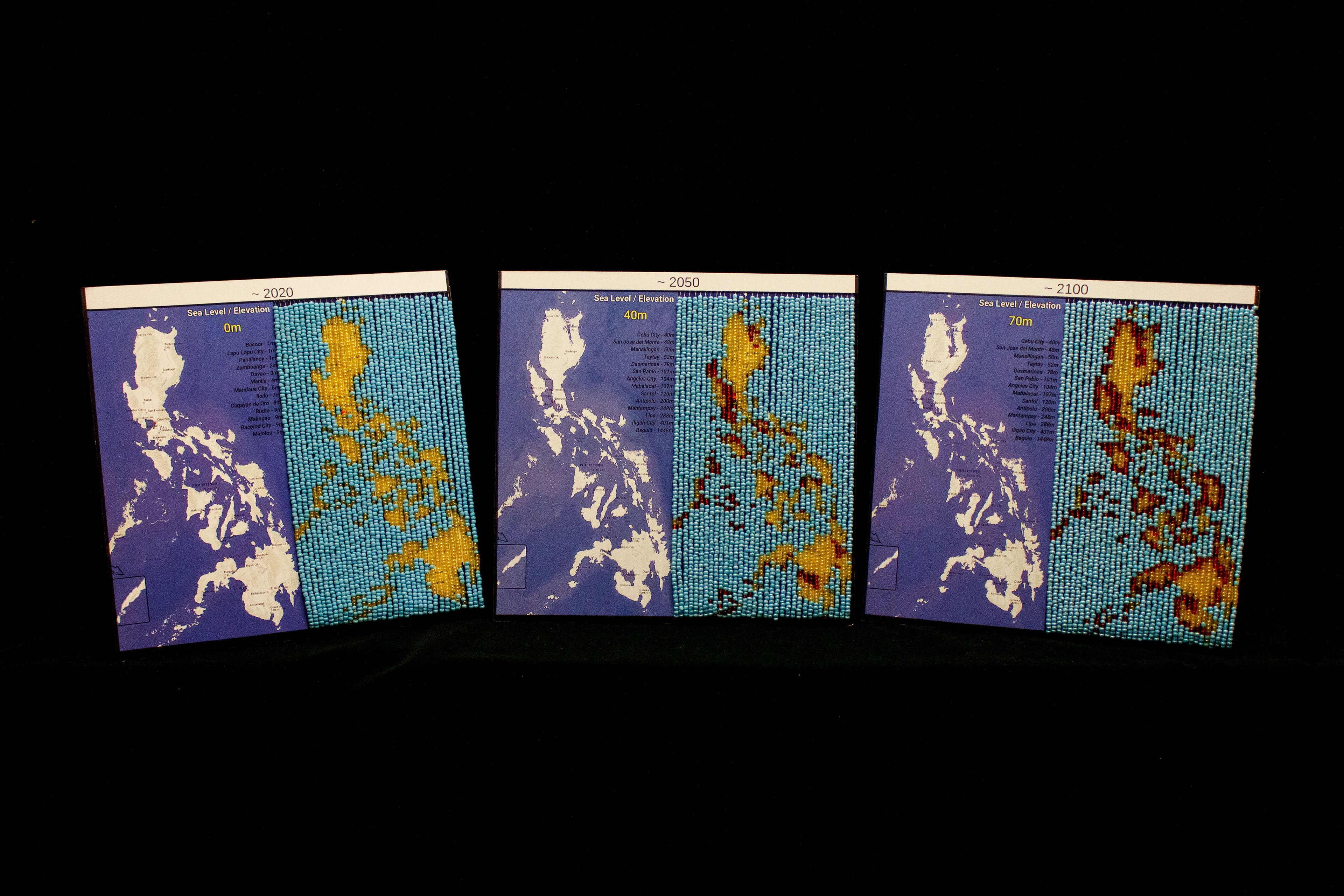
Maps, from left to right: 2020, 2050, 2100
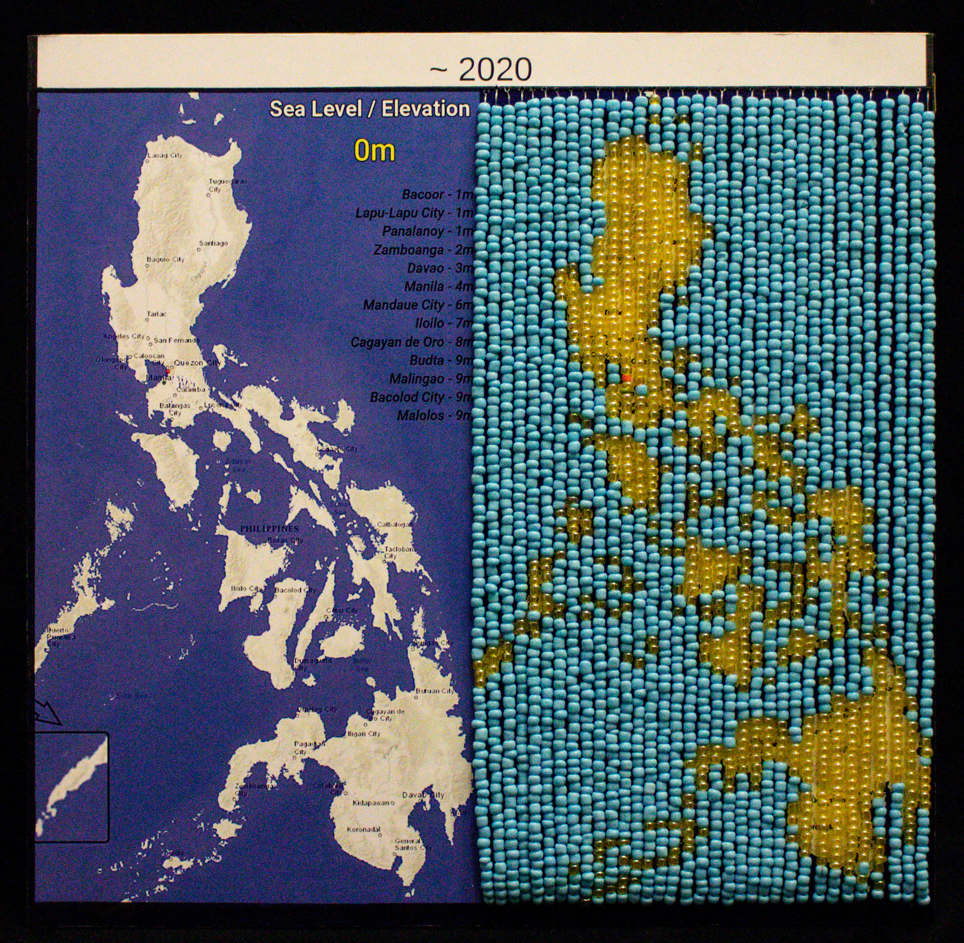
Data based on a 2019 study testing Coastal DEM, a new Digital Elevation Model (DEM) assessing global population exposures to extreme coastal water levels.
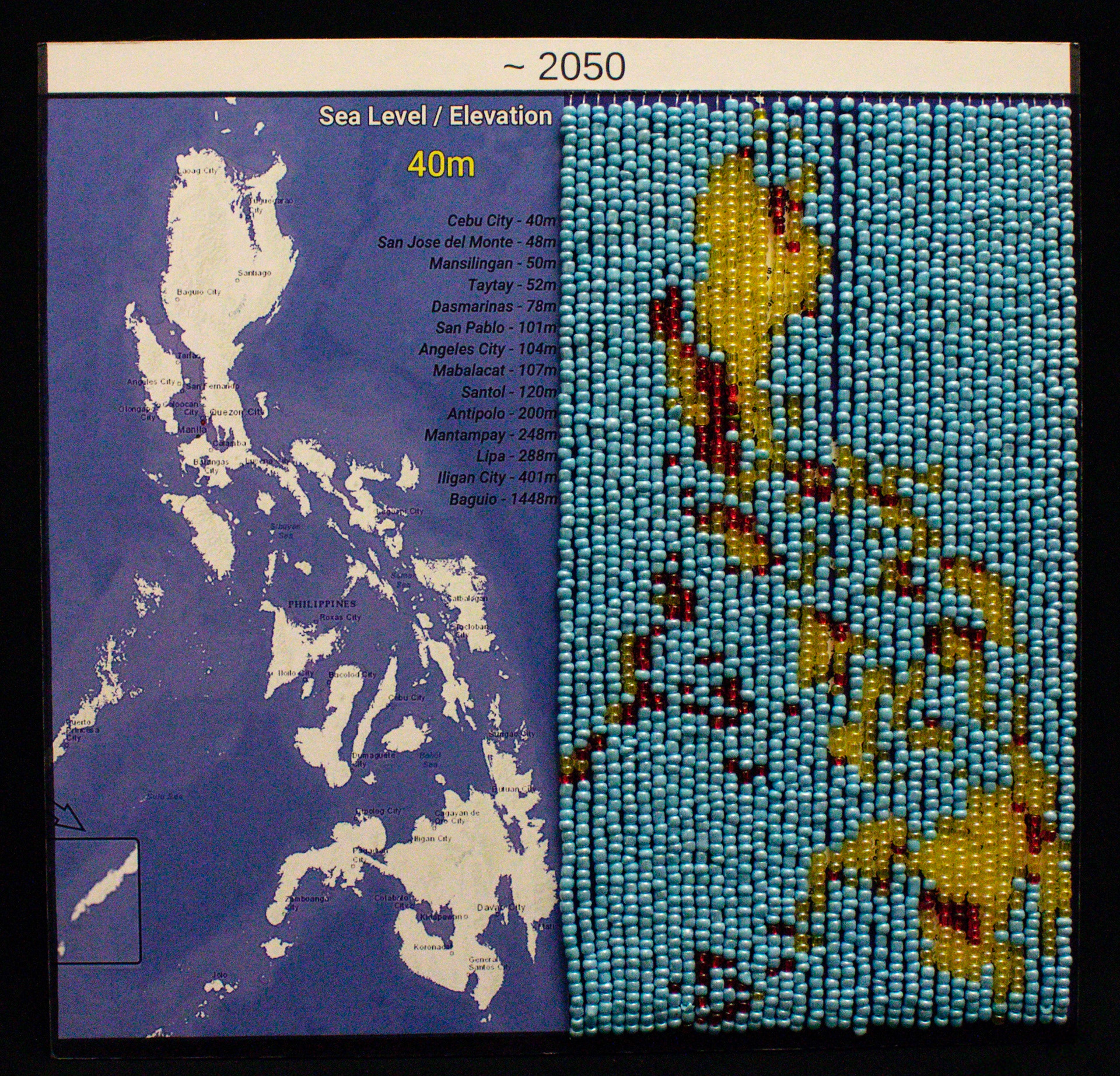
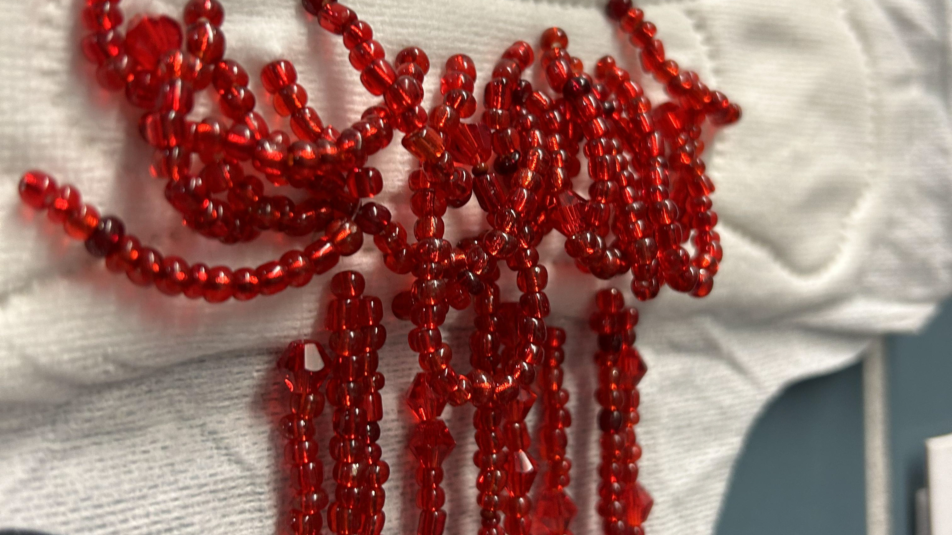
Blue Beads: Water, Yellow Beads: Land, Red Beads: Land lost to rising sea levels, Orange Bead: Manila (capital), Green Bead: Imus, Cavite (dad's hometown). Each map has 34 strands.
Special thanks to CSUSM's TRIO McNair team for the support throughout the project.

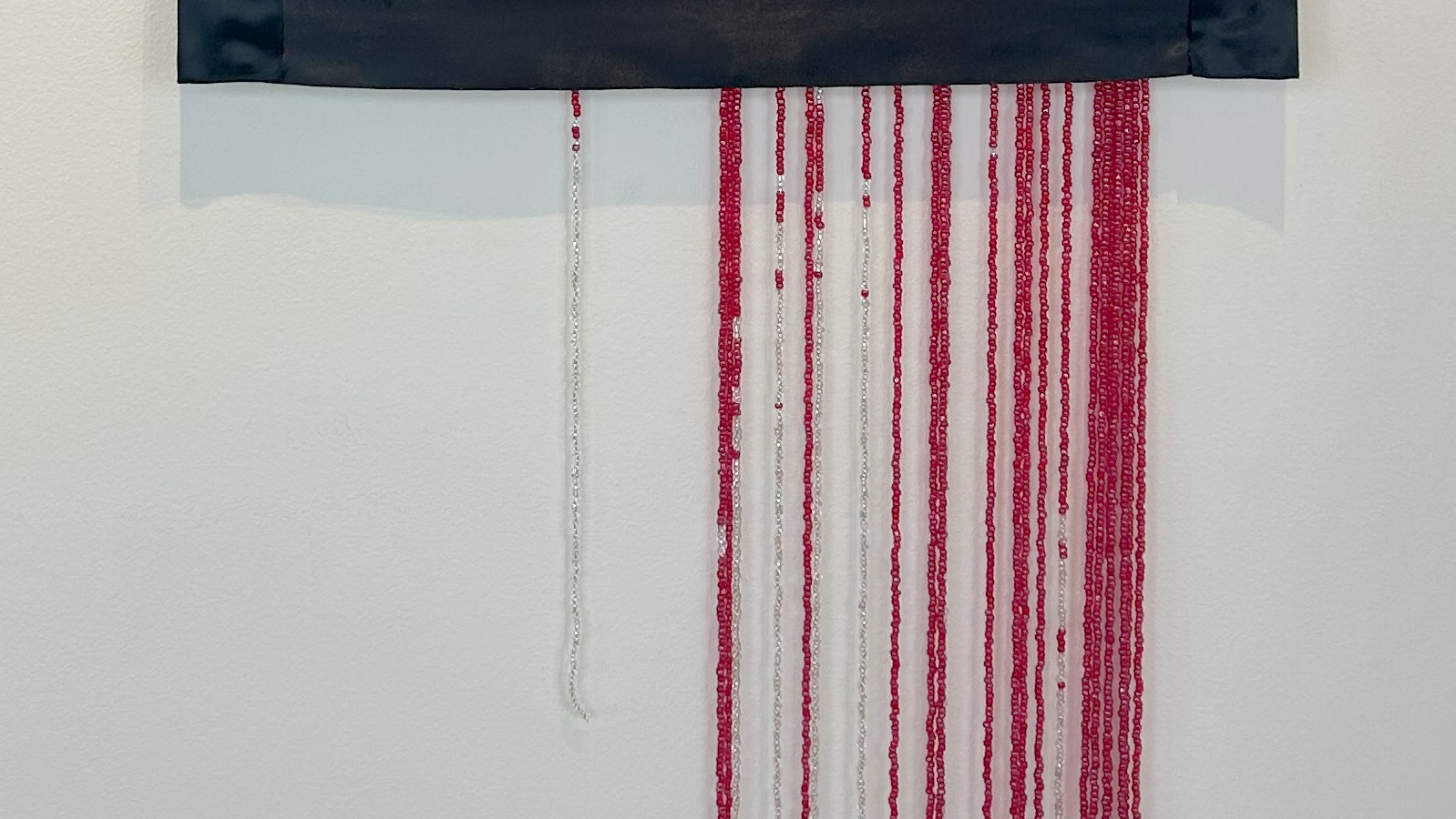
Beaded Legend.

Displayed with legend.
Exhibitions:
CSUSM Data Stacks, February 2023
https://www.csusm.edu/sustainability/news_events/researchandcreativeactivities.html